Remote Sensing · AgriTech
Satellite crop segmentation
Field-boundary and crop segmentation across 21 agricultural sites — delivered end-to-end, from raw scenes and dataset construction to trained models and clean handoff.
The challenge
No dataset existed
Labels and masks had to be built from raw imagery before any model could learn.
21 sites, one system
Soils, crops, and seasons vary — a single pipeline had to hold everywhere.
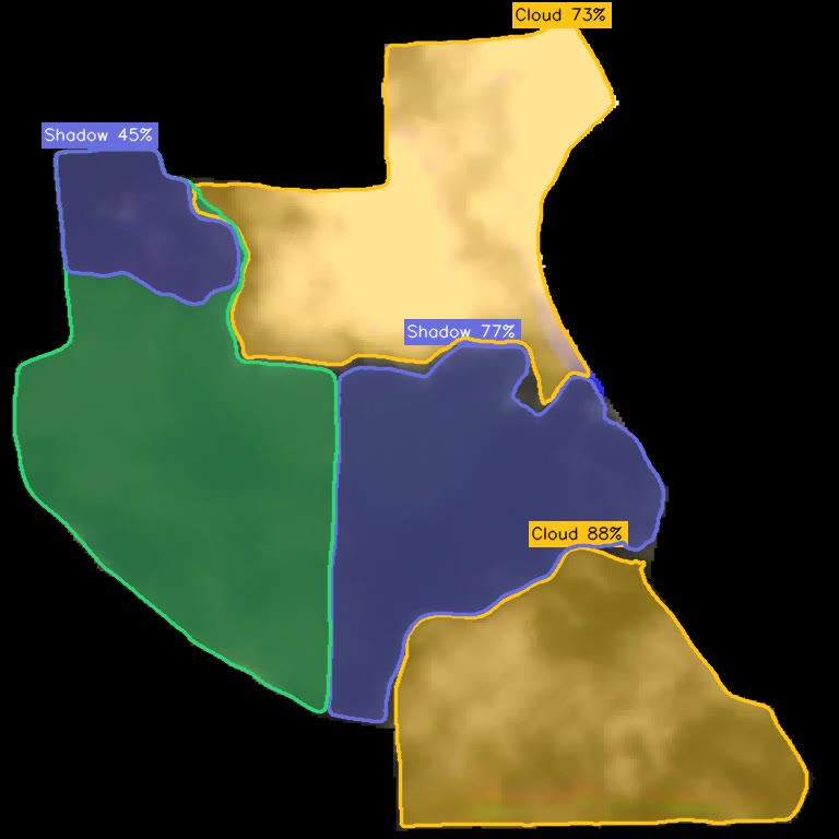
Clouds and shadows lie
Occlusions corrupt labels silently — they must be masked, not ignored.
The approach
Dataset construction
Built the training corpus across all 21 sites — scenes, labels, quality control.
Cloud & shadow masking
Segmented with per-region confidence so contaminated pixels never poison training.
Field & crop models
Trained segmentation for boundaries and crop classes across full site diversity.
Handoff-ready delivery
Packaged and documented for the client team to run and extend independently.
Outcomes
One pipeline
A single segmentation system covering every site.
Dataset → handoff
From raw scenes to a delivered, documented model.
Honest labels
Occlusions masked with confidence scores.